Above and Below Site Documentation for HVAC Upgrades
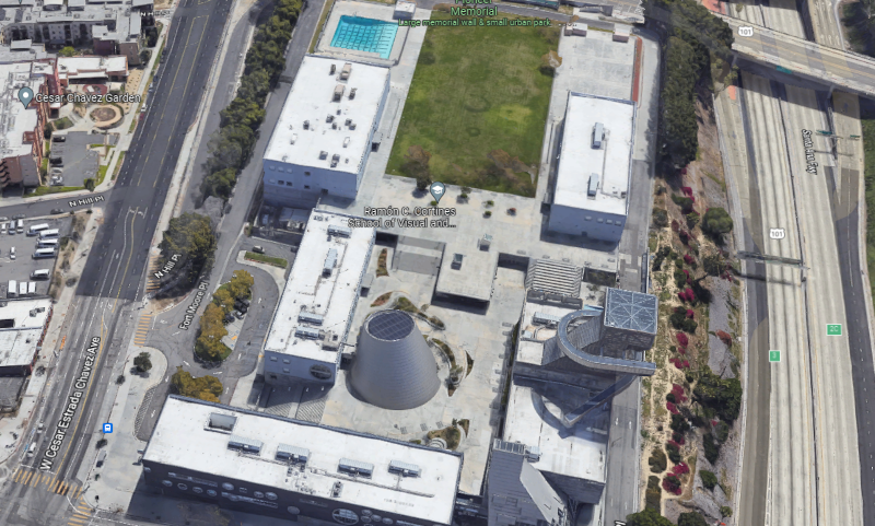
Location: Los Angeles, California
Task: A California high school required 3D laser scanning of the above-ground and below-ground infrastructure to create 2D CAD drawings and plan for HVAC system upgrades throughout the campus.
Project Application: The client required precise documentation of the surrounding structural elements and subsurface so they could design piping, reinforcing and coring in the least invasive way.
Problem:
- A 12-year-old high school was replacing the piping on 16 HVAC units throughout the campus.
- The piping for these units intricately runs in and out of buildings, and through retaining walls and mechanical yards.
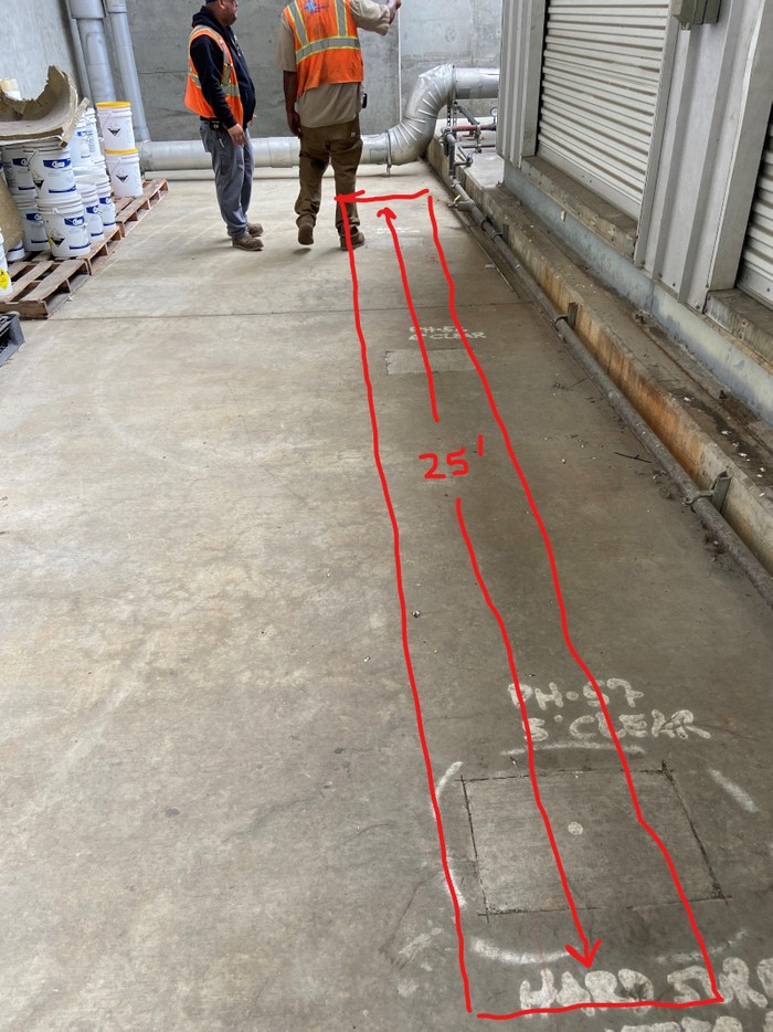
- The areas that they thread through do not have any as-builts or existing plans.
Solution:
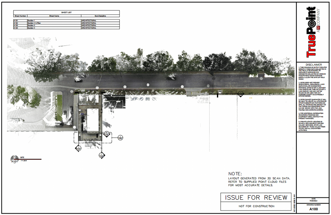
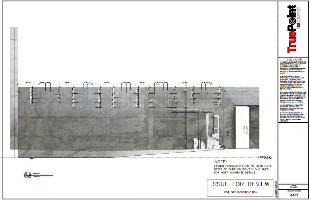
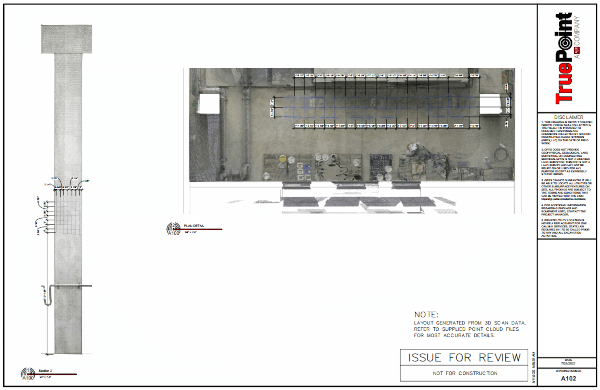
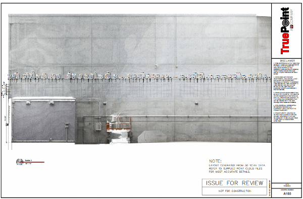
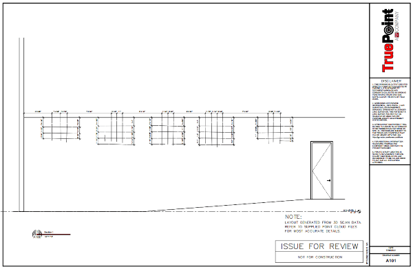
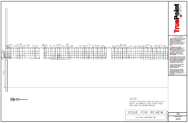
- Using the Leica RTC360 laser scanner, in less than 2 hours on site, a project manager captured elements of the surrounding campus and GPR markings.
- This project was laser scanned in full color, allowing the client to easily visualize and identify structural elements, pipes, conduits and concrete reinforcement points inside the point cloud.
- CAD engineers created 2D AutoCAD floor plans and exterior elevations, PDFs with and without the point cloud overlayed.
Benefits:
- The combination of laser scanning structural and ground penetrating radar markings provided the client a high-definition 3D comprehensive view of the campus, both visible and invisible.
- With 3D laser scan data, the client can verify the HVAC mechanical equipment with confidence knowing high accuracy instruments minimize position error throughout the 3D space.
- The client has the most up-to-date, accurate and comprehensive information to design HVAC upgrades.
Project Manager Testimonial:
As-built documentation of the high school campus and GPR markings can be captured quickly and accurately to plan for HVAC system upgrades. -- Chris Sanford | Business Development Manager | Southern California
For 3D laser scanning services in California, contact us below:
- Fresno | 559-801-1714 | fresno@truepointscanning.com
- Los Angeles 310-299-6038 | losangeles@truepointscanning.com
- Sacramento | 916-747-0400 | sacramento@truepointscanning.com
- San Diego | 619-787-0952 | sandiego@truepointscanning.com
- San Francisco | 415-770-7117 | sanfrancisco@truepointscanning.com
- Redding | 530-515-3845 | redding@truepointscanning.com