TruePoint 3D Laser Scanning Can Map Above and Below
By combining services with GPRS, TruePoint can can now offer general contractors and engineers an above-ground and below-ground solution for scanning, mapping, and dataset storage. Project managers can take control of their campus with responsive, mobile, and high-accuracy utility locating, subsurface mapping, 3D laser scanning, and storage tools.
TruePoint and GPRS partnership, what does this mean?
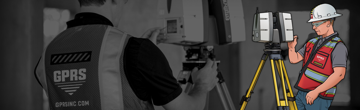
On June 1st, GPRS acquired TruePoint Laser Scanning, a professional 3D laser scanning company focused on capturing above-ground existing conditions point clouds, 2D CAD drawings, and 3D BIM models with 2-4 mm accurate measurements at a high resolution. TruePoint is the perfect complement to GPRS's use of large-scale ground-penetrating radar systems and underground scanning expertise.
Why 3D Laser Scanning?
3D laser scanning is quickly becoming the first step in construction projects and is essential to the coming release of SiteMap. 3D laser scanners use lidar to gather site data, creating a map that records millions of data points called a point cloud.
These 3D maps are currently raw data, and can also be used as is, or converted into 2D CAD drawings and 3D BIM models. SiteMap localizes and stores all of this map data from GPRS and TruePoint. The goal is to take the most complex and disorganized steps of project management and integrate them into one virtual resource.
While laser scanning has been around since the early 1960s, it didn’t gain attention from the engineering and construction industry until the 1990s. Since its adoption, the technology has rapidly increased in power and scale as companies continuously push the boundaries of improvement.
GPRS and TruePoint are dedicated to supporting the highly anticipated SiteMap platform with their collective expertise and look to integrate 3D laser scanning into SiteMap. With powerful above-ground and below-ground scanning expertise, SiteMap will be a one-stop solution for data storage, map digitization, and more.
SiteMap, powered by GPRS, takes current digital maps, such as point cloud data, 2D CAD Drawings and 3D BIM Models and puts them into one easily accessible interface. SiteMap isn’t just for current technology maps and data collection either. With its storage solutions built in, SiteMap stores and organizes your digitized information, reducing the clutter and confusion of printed physical plans.
Case Studies
TruePoint will supplement SiteMap with the 3D laser scanning of infrastructure. TruePoint offers case studies dedicated to the understanding, study, and recording of unique uses of 3D laser scanning.
A recent case study from TruePoint involved 3D laser scanning UPenn College Hall, the oldest building on the campus of the University of Pennsylvania. TruePoint 3D laser scanned the building façade and interior to create an LOD 200 3D Revit model for building restoration. 3D laser scanning documented the architectural and structural details of this historical building with great precision. By using as-built data in the preconstruction planning phase, the contractors can align on planning and coordination.
With case studies like these, GPRS can integrate powerful 3D scanning technology into the framework of SiteMap and provide a stronger and more informed program to organize and store data.
Conclusion
With a scalable utility mapping application like SiteMap and a dedicated above-ground 3D laser mapping professional such as TruePoint behind it, Project Managers now have access to a utility prioritizing their success as well as their safety. SiteMap accurately maps, digitally stores, and provides easy access to an entire campus faster than any physical process. Look forward to the launch of SiteMap this fall.